Optimize Point Location
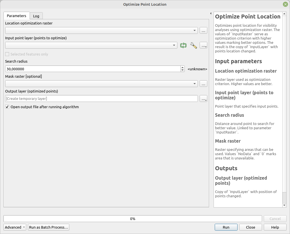
Optimizes point locations for visibility analyses using an optimization raster. The values of InputRaster serve as the optimization criterion, with higher values indicating better options. The result is a copy of InputLayer with point locations adjusted.
The optimization process is guided by two addition parameters - Distance and MaskRaster. Distance specifies distance around origin point to search for better values on InputRaster to move the point to. MaskRaster allows to optionally input raster that can move forbid some areas to be used as new point location. MaskRaster values NoData and 0 can be used to mark unavailable areas, other values can be used to place optimized points.
Parameters
| Label | Name | Type | Description |
|---|---|---|---|
| Location optimization raster | InputRaster |
[raster] | Raster layer used as the optimization criterion. Higher values are better. |
| Input point layer (points to optimize) | InputLayer |
[vector: point] | Point layer that specifies the input points. |
| Search radius | Distance |
[number] Default: 30 |
Distance around each point to search for a better value. Linked to the InputRaster parameter. |
| Mask raster | MaskRaster |
[raster] | Raster specifying areas that can be used. Values NoData and 0 mark areas that are unavailable. |
| Output layer (optimized points) | OutputLayer |
[vector: point] | Copy of InputLayer with adjusted point positions. |
Outputs
| Label | Name | Type | Description |
|---|---|---|---|
| Output layer (optimized points) | OutputLayer |
[vector: point] | Copy of InputLayer with adjusted point positions. |
Fields in the output layer
The same as in InputLayer.
Tool screenshot